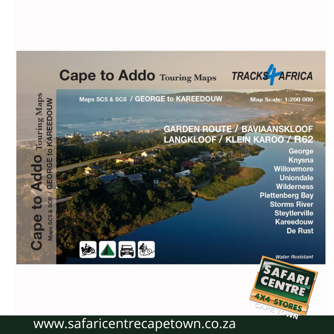
Description
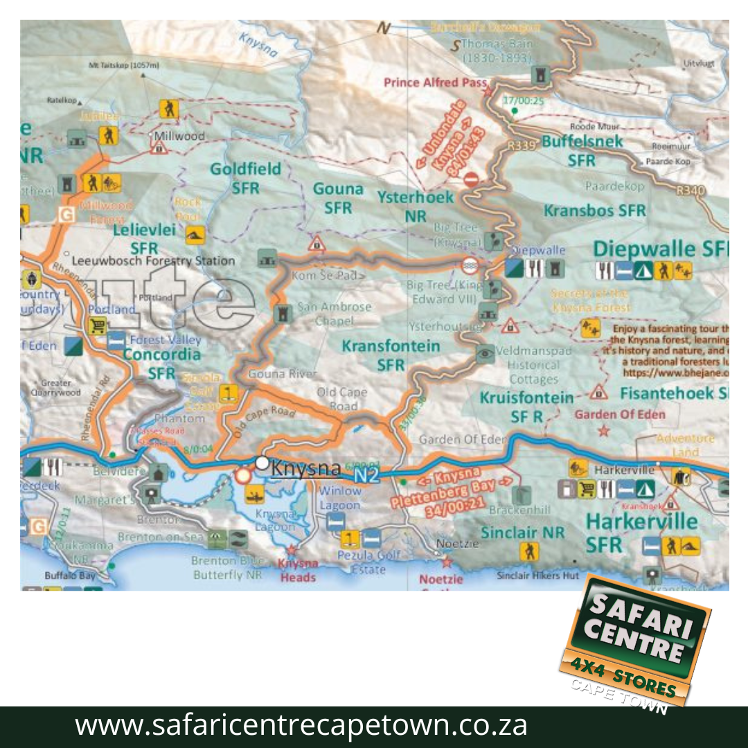
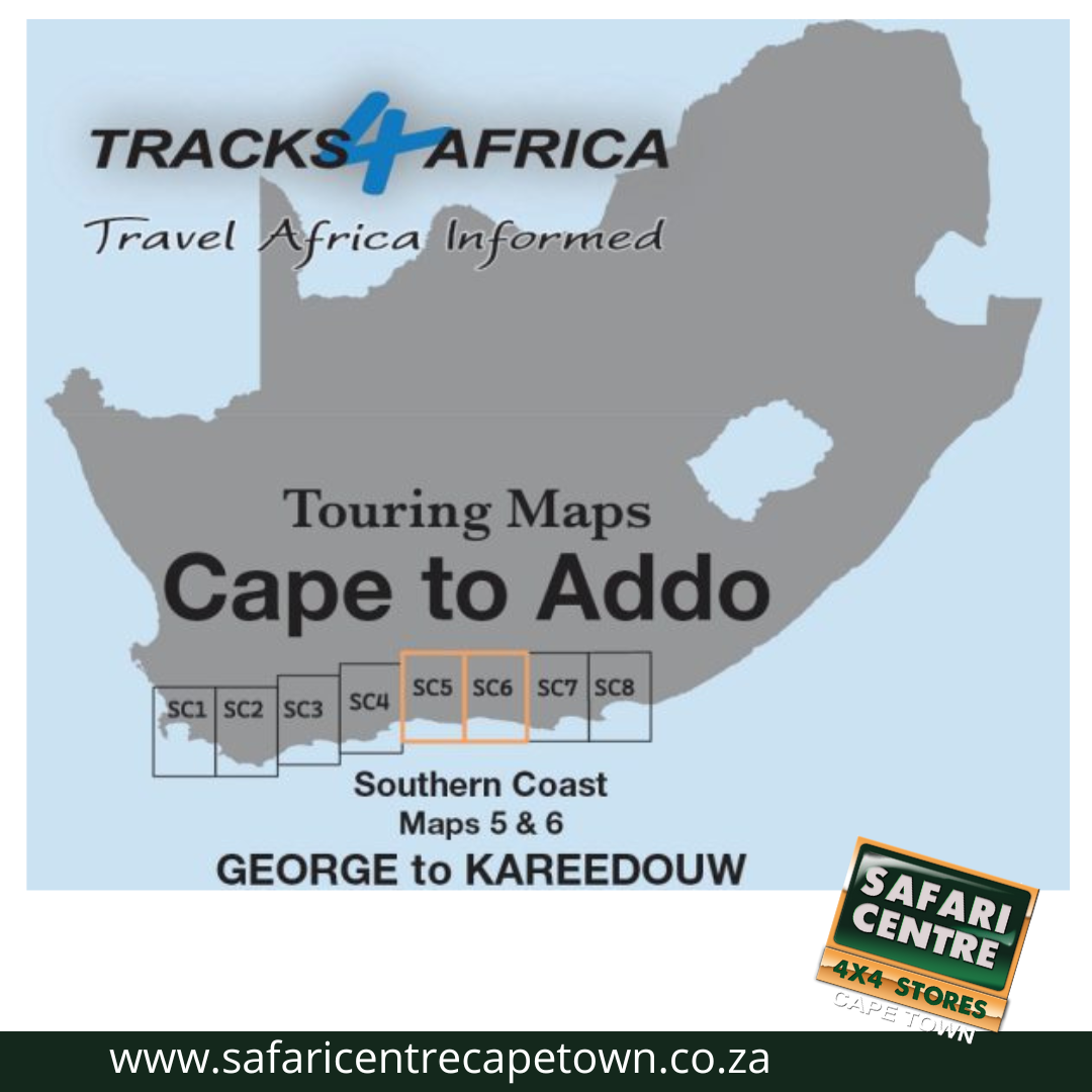
As the name suggests, these two maps, printed on either side of a single sheet of Duraflex paper, stretch from George in the west to Kareedouw in the east. The coastline forms the southern boundary and to the north it includes places like Klaarstroom, Willowmore and Steytlerville which are in the Karoo.